
 Just a few decades ago, using a laser to scan a building in three dimensions was limited to only a few big-name companies. However, as prices have dropped and as Computer-Aided Design (CAD) software has improved, 3D imaging has become more of a regular tool for engineers and surveyors.
At AMG, Inc., our team has been using traditional surveying for more than a decade and have started using 3D surveying in the past few years. The process comes with countless benefits, and we think every engineering project should implement 3D surveying to improve results.
What Does 3D Laser Surveying Do?
3D laser scanning captures data from an existing building quickly and accurately. With a very precise laser, surfaces can be scanned and measured, including some that might be out of reach or too delicate to risk with a regular survey.
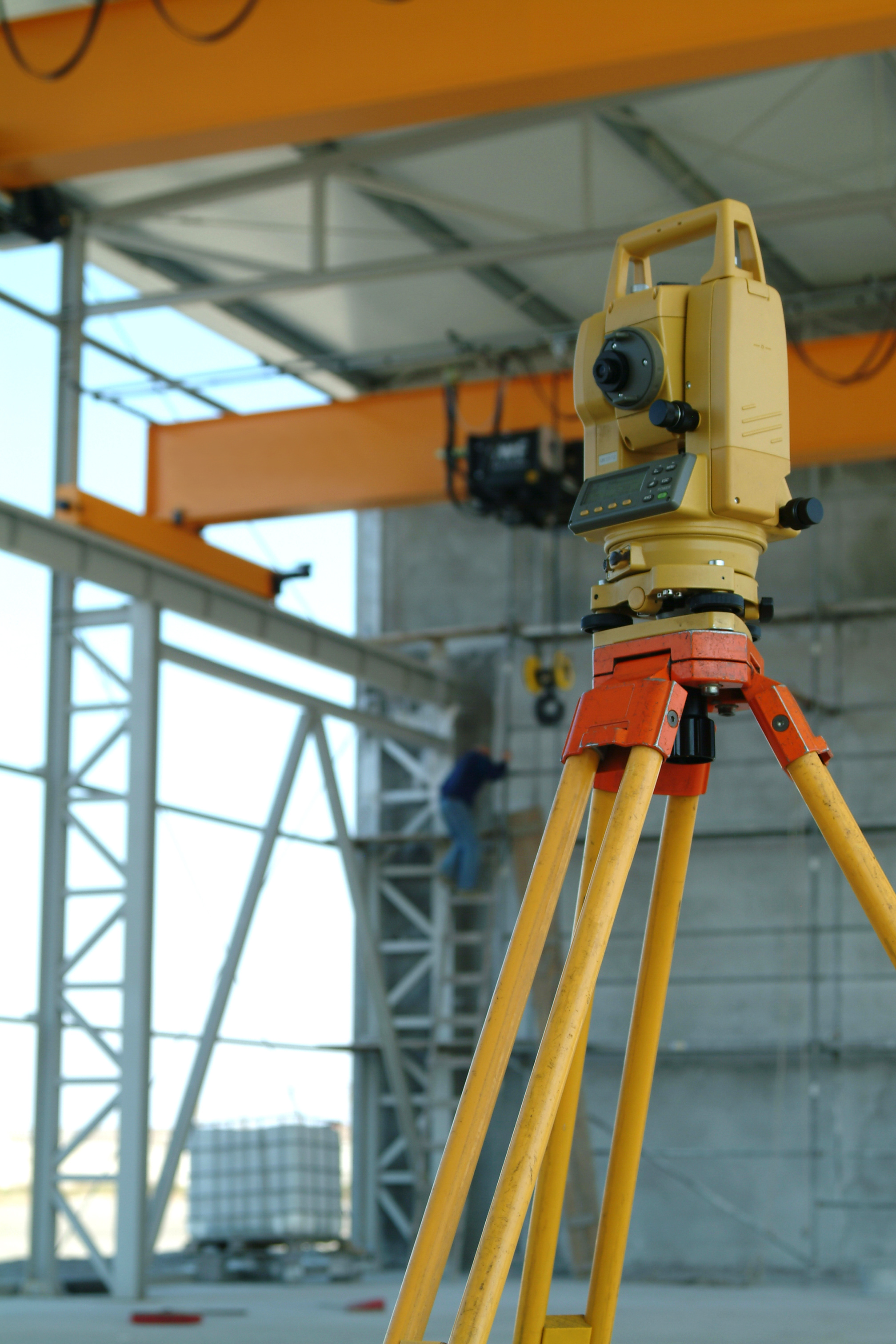
How 3D Laser Surveying Works
3D Laser Surveying works when a laser is reflected off a surface. The laser returns to a light sensor and carries data. Then, the sensor, the light source, and the laser dot form a triangle. Since the first two points are already known, the third corner of the triangle can then be measured for more accurate engineering.
Uses Of 3D Laser Surveying
Laser imaging can be used for several jobs. Some of these tasks include:
• Mapping and designing roads
• Modeling and site layout
• Documenting historical buildings and locations
• Creating animated walkthroughs
• Measuring cut and fill quantities for excavations
• Determining dimensions of excavated areas
• Creating accurate as-built drawings of existing structures
• Implementing Reverse Engineering
• Assisting with Structural Analysis/Design
Why 3D Laser Scanning Should Be Used For Every Engineering Project
Now that laser surveying is cheaper and more widespread, it is imperative for this resource to be considered for almost every engineering project. There are numerous benefits that 3D lasering brings to the table. For example:
• Accuracy: Before this method came along, engineers had to measure structures by hand. Recording data with 3D surveying results in a much more accurate project. This precision also saves time by cutting down on return trips to the site to verify numbers.
• Timely: Using laser and CAD software allows for a project to be completed in a timely manner. Furthermore, this allows a project designer to spend more time on the creative process.
• Project Understandability: Laser imaging allows designers to make 3D walkthroughs that are easily understood. This can make a project much easier to be visualized and built. The impact of changes can be seen in real time.
• Non-Invasive: Fragile or valuable sites (such as historic buildings) can be safely mapped with a 3D survey in a non-invasive way. The traditional approach could risk harm to the building; however, implementing lasers removes the human element and allows the engineer to map a surface that may be difficult to reach or dangerous to access.
• Improved Records: Many traditional jobs are often documented after construction, which takes extra time and money. 3D surveying, on the other hand, documents a project while it is designed, resulting in improved record keeping.
AMG, Inc. is excited about what the future holds. 3D surveying methods are continuously improving, and this resource will give us more tools to build on our years of experience.
We offer several laser scanning services, including fixing models our clients have received from less experienced sources. Whatever your next project might be, 3D laser surveying will allow for more accuracy, elite results, and an innovative approach to engineering.